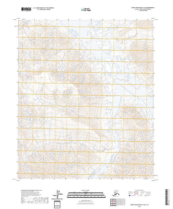
2024 Map of Mount Michelson A-4 NE
USGS Topo · Published 2024About this map
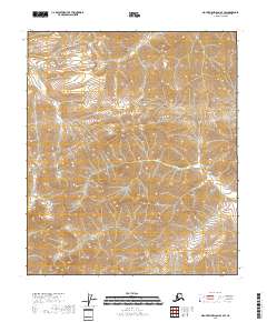
The Canning River defines the drainage patterns of this northern landscape within the Arctic National Wildlife Refuge. The map details the confluence area where the Marsh Fork Canning River joins the main stem, a critical hydrological point in the eastern North Slope region. Much of the eastern portion of this survey falls within the Mollie Beattie Wilderness, highlighting the primitive and protected state of the Brooks Range foothills in the early twenty-first century.
Find a feature on this map
12 named features on this map. Tap any name to fly to it.
Don’t see what you’re looking for? This feature index may not catch every label — zoom into the map to look around manually.
Map Details
Editions of this 2024 Mount Michelson A-4 NE Map
This is the sole edition of this map. No revisions or reprints were ever made.
Other maps of this area

1951 · Mt. Michelson
USGS Topo · 1:250,000

1956 · Mt. Michelson
USGS Topo · 1:250,000

1956 · Mount Michelson B-3
USGS Topo · 1:63,360

1983 · Mount Michelson A-3
USGS Topo · 1:63,360
1983 · Mount Michelson A-4
USGS Topo · 1:63,360
1983 · Mount Michelson B-4
USGS Topo · 1:63,360
2018 · Mount Michelson A-4 SE
USGS Topo · 1:25,000
2018 · Mount Michelson A-4 SW
USGS Topo · 1:25,000
2018 · Mount Michelson A-3 NW
USGS Topo · 1:25,000
2018 · Mount Michelson B-4 SE
USGS Topo · 1:25,000