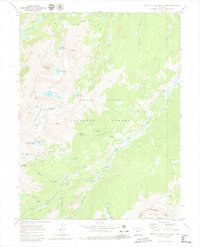
1970 Map of Mount Of The Holy Cross
USGS Topo · Published 1980About this map
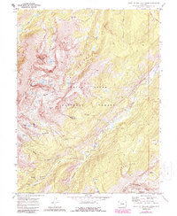
Mount of the Holy Cross towers over a high-altitude landscape defined by early mining efforts and mid-century water engineering projects within the White River National Forest. The settlement of Holy Cross City is shown near several unnamed Mines, while the southeastern corner reveals the industrial footprint of the Homestake Collection System. This complex network, including the Missouri Aqueduct, the Missouri Tunnel, and multiple diversion dams, illustrates the intensive management of alpine runoff along Homestake Creek. The terrain is marked by notable peaks like Whitney Peak and Notch Mountain, as well as numerous glacial basins containing the Seven Sisters Lakes and the Tuhare Lakes. Traces of local history are preserved at the Gold Park Cem and the nearby Gold Park Campground, located near the intersection of various pack trails and the Continental Divide.
Find a feature on this map
50 named features on this map. Tap any name to fly to it.
Don’t see what you’re looking for? This feature index may not catch every label — zoom into the map to look around manually.
Map Details
Editions of this 1970 Mount Of The Holy Cross Map
5 editions found
Other maps of this area

1889 · Leadville
USGS Topo · 1:125,000

1891 · Leadville
USGS Topo · 1:125,000

1909 · Mount Jackson
USGS Topo · 1:125,000

1911 · Mount Jackson
USGS Topo · 1:125,000

1934 · Minturn
USGS Topo · 1:62,500

1942 · Leadville
USGS Topo · 1:125,000

1949 · Holy Cross
USGS Topo · 1:62,500

1950 · Minturn
USGS Topo · 1:62,500

1951 · Holy Cross
USGS Topo · 1:62,500

1957 · Leadville
USGS Topo · 1:250,000