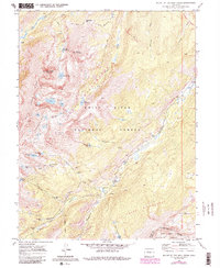
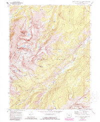
1970 Map of Mount Of The Holy Cross
USGS Topo · Published 1988About this map
Mount of the Holy Cross dominates this high-altitude landscape, serving as a focal point for a region defined by early mining efforts and complex water management systems. The map captures the historic mining camp of Holy Cross City and nearby Gold Park, including the Gold Park Cem, reflecting the area's late 19th-century boom and eventual transition to a protected wilderness within the White River National Forest.
Find a feature on this map
48 named features on this map. Tap any name to fly to it.
Don’t see what you’re looking for? This feature index may not catch every label — zoom into the map to look around manually.
Map Details
Editions of this 1970 Mount Of The Holy Cross Map
5 editions found
Other maps of this area

1889 · Leadville
USGS Topo · 1:125,000

1891 · Leadville
USGS Topo · 1:125,000

1909 · Mount Jackson
USGS Topo · 1:125,000

1911 · Mount Jackson
USGS Topo · 1:125,000

1934 · Minturn
USGS Topo · 1:62,500

1942 · Leadville
USGS Topo · 1:125,000

1949 · Holy Cross
USGS Topo · 1:62,500

1950 · Minturn
USGS Topo · 1:62,500

1951 · Holy Cross
USGS Topo · 1:62,500

1957 · Leadville
USGS Topo · 1:250,000