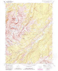
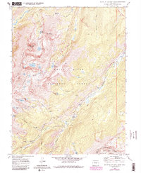
1970 Map of Mount Of The Holy Cross
USGS Topo · Published 1988About this map
Mount of the Holy Cross and the surrounding wilderness of the White River National Forest are documented here during a period of significant water engineering and recreational management. The map reveals the intricate Homestake System Aqueduct Collection and the Missouri Aqueduct, infrastructure designed to divert high-altitude runoff through a series of intakes and diversion dams. This industrial imprint contrasts with the historical mining remnants at Holy Cross City and the mines scattered along the slopes of French Creek. Local history is anchored at the Gold Park Cem near the Gold Park Campground, while the rugged geography is defined by landmarks like the Holy Cross Ridge and the aptly named Bowl of Tears lake. The map also traces the boundary between Eagle and Lake counties as it follows the Continental Divide.
Find a feature on this map
44 named features on this map. Tap any name to fly to it.
Don’t see what you’re looking for? This feature index may not catch every label — zoom into the map to look around manually.
Map Details
Editions of this 1970 Mount Of The Holy Cross Map
5 editions found
Other maps of this area

1889 · Leadville
USGS Topo · 1:125,000

1891 · Leadville
USGS Topo · 1:125,000

1909 · Mount Jackson
USGS Topo · 1:125,000

1911 · Mount Jackson
USGS Topo · 1:125,000

1934 · Minturn
USGS Topo · 1:62,500

1942 · Leadville
USGS Topo · 1:125,000

1949 · Holy Cross
USGS Topo · 1:62,500

1950 · Minturn
USGS Topo · 1:62,500

1951 · Holy Cross
USGS Topo · 1:62,500

1957 · Leadville
USGS Topo · 1:250,000