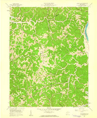
1958 Map of Mount Olive
USGS Topo · Published 1959About this map
The hills of Mason and Putnam counties are defined by a network of small rural institutions in the late 1950s, centered around the Kanawha River corridor. The community of Mount Olive serves as a local anchor in this landscape of narrow hollows and ridge-top roads. Numerous country schools and churches are distributed throughout the terrain, including Red Joe Sch, Pine Grove Sch, and Mt Zion Ch, reflecting a time when education and worship were deeply localized.
Find a feature on this map
42 named features on this map. Tap any name to fly to it.
Don’t see what you’re looking for? This feature index may not catch every label — zoom into the map to look around manually.
Map Details
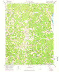
Editions of this 1958 Mount Olive Map
2 editions found
Other maps of this area

1892 · Huntington
USGS Topo · 1:125,000

1898 · Huntington
USGS Topo · 1:125,000

1899 · Charleston
USGS Topo · 1:125,000

1902 · Milton
USGS Topo · 1:62,500

1906 · Glenwood
USGS Topo · 1:62,500

1906 · Winfield
USGS Topo · 1:62,500

1908 · Glenwood
USGS Topo · 1:62,500

1908 · Winfield
USGS Topo · 1:62,500

1909 · Saint Albans
USGS Topo · 1:62,500

1931 · Saint Albans
USGS Topo · 1:62,500