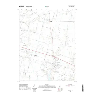
2023 Map of Mount Orab
USGS Topo · Published 2023About this map
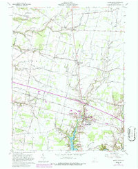
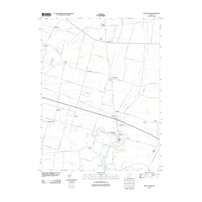
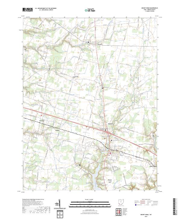
Mount Orab serves as the primary hub for this Brown County landscape, where US Route 68 intersects with a network of local roads such as Greenbush West Rd and Harker Waits Rd. The topography is defined by numerous drainage systems including Fivemile Creek, Fourmile Creek, and Todd Run, which dictate the placement of small rural communities like Fivemile, Centerville, and Bardwell. For those tracing local heritage, the map reveals a high density of burial grounds dispersed across the townships, including Bloom Rose Cem, Taylors Chapel Cem, and Star Lake Cem.
Find a feature on this map
112 named features on this map. Tap any name to fly to it.
Don’t see what you’re looking for? This feature index may not catch every label — zoom into the map to look around manually.
Map Details
Editions of this 2023 Mount Orab Map
This is the sole edition of this map. No revisions or reprints were ever made.
Historical Maps of Mount Orab Through Time
6 maps found