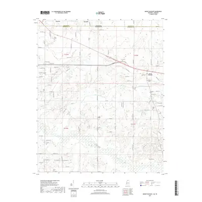
2018 Map of Mount Pleasant
USGS Topo · Published 2018About this map
Mount Pleasant sits at the intersection of rural Marshall County and the Tennessee state line, serving as a focal point for this landscape of meandering creeks and family cemeteries. The terrain is defined by the drainage of the Coldwater River and Little Coldwater Creek, which carve through the countryside near Taska and Cayce. This 2018 survey reveals a high density of burial grounds that document the area's generational roots, including the New Shannon Cem, Mount Pleasant Cem, and Brittenum Cem. To the north, the communities of Piperton and Rossville lie just across the border in Fayette County, linked by a network of local roads like Goodman Rd. The geography suggests a transition from the structured residential roads of the north to the more natural, waterway-driven contours of the south, where Keith Lake One and Opossum Cr influence the local topography.
Find a feature on this map
99 named features on this map. Tap any name to fly to it.
Don’t see what you’re looking for? This feature index may not catch every label — zoom into the map to look around manually.
Map Details
Editions of this 2018 Mount Pleasant Map
This is the sole edition of this map. No revisions or reprints were ever made.
Other maps of this area

1943 · Collierville
USGS Topo · 1:62,500

1948 · Byhalia
USGS Topo · 1:62,500

1949 · Moscow
USGS Topo · 1:62,500

1953 · Holly Springs
USGS Topo · 1:62,500

1953 · Collierville
USGS Topo · 1:50,000

1956 · Blytheville
USGS Topo · 1:250,000

1956 · Tupelo
USGS Topo · 1:250,000

1958 · Tupelo
USGS Topo · 1:250,000

1959 · Blytheville
USGS Topo · 1:250,000

1965 · Rossville
USGS Topo · 1:24,000