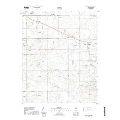
2021 Map of Mount Pleasant
USGS Topo · Published 2021About this map
Tennessee and Mississippi meet along the northern boundary of this survey, where the settlement of Piperton sits adjacent to the rural landscape of Marshall and Fayette counties. The map captures a region defined by its small farming communities and numerous family and community burial grounds, such as New Shannon Cem and Mount Pleasant Cem. In the center of the sheet, the crossroads of Taska provides a focal point for the surrounding farms and wooded tracts.
Find a feature on this map
107 named features on this map. Tap any name to fly to it.
Don’t see what you’re looking for? This feature index may not catch every label — zoom into the map to look around manually.
Map Details
Editions of this 2021 Mount Pleasant Map
This is the sole edition of this map. No revisions or reprints were ever made.
Other maps of this area

1943 · Collierville
USGS Topo · 1:62,500

1948 · Byhalia
USGS Topo · 1:62,500

1949 · Moscow
USGS Topo · 1:62,500

1953 · Holly Springs
USGS Topo · 1:62,500

1953 · Collierville
USGS Topo · 1:50,000

1956 · Blytheville
USGS Topo · 1:250,000

1956 · Tupelo
USGS Topo · 1:250,000

1958 · Tupelo
USGS Topo · 1:250,000

1959 · Blytheville
USGS Topo · 1:250,000

1965 · Rossville
USGS Topo · 1:24,000