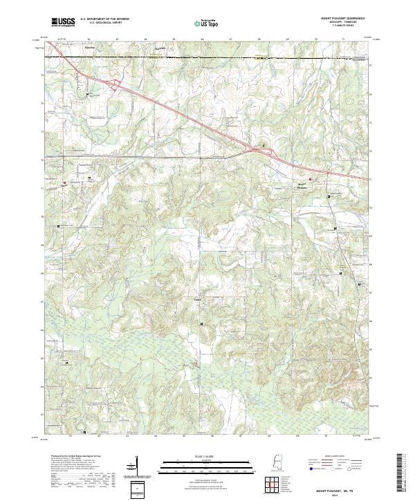
2024 Map of Mount Pleasant
USGS Topo · Published 2024About this map
Mount Pleasant serves as a central hub in this corner of North Mississippi, situated just south of the Tennessee state line in Marshall County. The landscape is defined by the headwaters of the Coldwater River and its numerous tributaries, including Little Coldwater Creek and Lee Creek. This area exhibits a dense concentration of rural cemeteries, such as Carey Chapel Cem, Brittenum Cem, and New Salem Cem, which provide significant genealogical clues for families rooted in the region. The map captures the transition from the settled town centers of Rossville and Piperton in the north to the more agrarian reaches of Taska and Cayce in the south. Notable geographic features like Wildcat Bottom Cove and Coldwater Cove illustrate the varied terrain that has shaped local development and land use through the decades.
Find a feature on this map
108 named features on this map. Tap any name to fly to it.
Don’t see what you’re looking for? This feature index may not catch every label — zoom into the map to look around manually.
Map Details
Editions of this 2024 Mount Pleasant Map
This is the sole edition of this map. No revisions or reprints were ever made.
Other maps of this area

1943 · Collierville
USGS Topo · 1:62,500

1948 · Byhalia
USGS Topo · 1:62,500

1949 · Moscow
USGS Topo · 1:62,500

1953 · Holly Springs
USGS Topo · 1:62,500

1953 · Collierville
USGS Topo · 1:50,000

1956 · Blytheville
USGS Topo · 1:250,000

1956 · Tupelo
USGS Topo · 1:250,000

1958 · Tupelo
USGS Topo · 1:250,000

1959 · Blytheville
USGS Topo · 1:250,000

1965 · Rossville
USGS Topo · 1:24,000