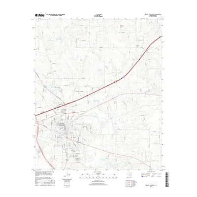
2016 Map of Mount Pleasant
USGS Topo · Published 2016About this map
Mount Pleasant serves as the central hub of this Northeast Texas landscape, where the urban grid of the county seat transitions into a complex network of local water management and rural cemeteries. The landscape is defined by its extensive watershed, including Ellis Kelley Lake in the northwest and a chain of reservoirs such as New City Lake, Old City Lake, and the John B Stephens Junior Lake. These water bodies, alongside the winding courses of Hart Creek and Stinking Creek, reflect the region's reliance on managed water resources for municipal and agricultural use.
Find a feature on this map
123 named features on this map. Tap any name to fly to it.
Don’t see what you’re looking for? This feature index may not catch every label — zoom into the map to look around manually.
Map Details
Editions of this 2016 Mount Pleasant Map
This is the sole edition of this map. No revisions or reprints were ever made.
Other maps of this area

1953 · Texarkana
USGS Topo · 1:250,000
1956 · Texarkana
USGS Topo · 1:250,000
1964 · Harvard
USGS Topo · 1:24,000
1964 · Wilkinson
USGS Topo · 1:24,000
1964 · Talco
USGS Topo · 1:24,000
1964 · Cason
USGS Topo · 1:24,000
1965 · Winfield
USGS Topo · 1:24,000
1965 · Monticello
USGS Topo · 1:24,000
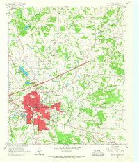
1965 · Mount Pleasant
USGS Topo · 1:24,000
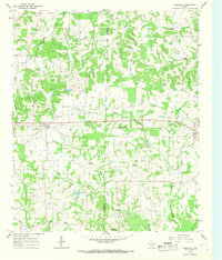
1965 · Cookville
USGS Topo · 1:24,000