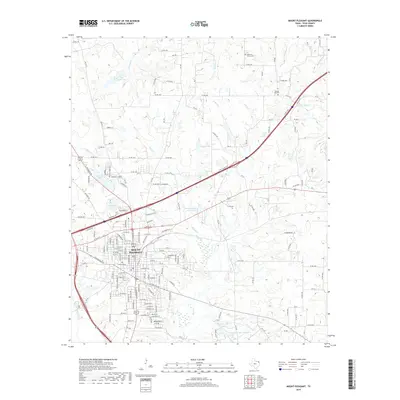
2019 Map of Mount Pleasant
USGS Topo · Published 2019About this map
Mount Pleasant serves as the central hub of this Northeast Texas landscape, where a dense street grid meets a network of managed water resources. The city’s development is closely tied to its local reservoirs, including New City Lake, Old City Lake, and John B Stephens Junior Lake, which ring the western and northern edges of the urban center. This hydrological management extends to the rural outskirts, where Stephens Lake Number 1 and Stephens Lake Number 2 sit along the lower reaches of Hart Creek.
Find a feature on this map
170 named features on this map. Tap any name to fly to it.
Don’t see what you’re looking for? This feature index may not catch every label — zoom into the map to look around manually.
Map Details
Editions of this 2019 Mount Pleasant Map
This is the sole edition of this map. No revisions or reprints were ever made.
Other maps of this area

1953 · Texarkana
USGS Topo · 1:250,000
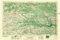
1956 · Texarkana
USGS Topo · 1:250,000
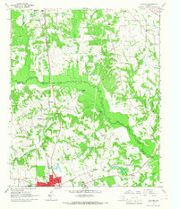
1964 · Harvard
USGS Topo · 1:24,000
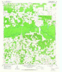
1964 · Wilkinson
USGS Topo · 1:24,000
1964 · Talco
USGS Topo · 1:24,000
1964 · Cason
USGS Topo · 1:24,000
1965 · Winfield
USGS Topo · 1:24,000
1965 · Monticello
USGS Topo · 1:24,000
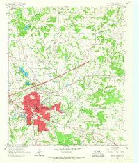
1965 · Mount Pleasant
USGS Topo · 1:24,000
1965 · Cookville
USGS Topo · 1:24,000