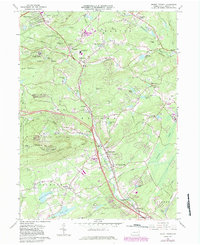
1966 Map of Mount Pocono
USGS Topo · Published 1983About this map
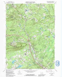
Mount Pocono and the surrounding resort landscape of Monroe County appear here in a period of significant infrastructural expansion. While the traditional character of the area is represented by landmarks like Pocono Manor and the Fish Hatchery in Paradise Valley, the mid-century influence of the automobile is evident in the path of the Pennsylvania Tnpk Northeast Ext and multiple interchanges near Scotrun. The map traces a complex network of waterways, including the winding course of Pocono Creek and numerous upland lakes like Lake Minisink and Trout Lake, which have long defined the region's recreational appeal.
Find a feature on this map
75 named features on this map. Tap any name to fly to it.
Don’t see what you’re looking for? This feature index may not catch every label — zoom into the map to look around manually.
Map Details
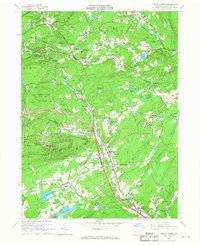
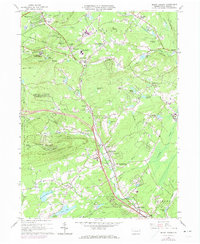
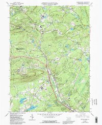
Editions of this 1966 Mount Pocono Map
5 editions found
Other maps of this area

1891 · Delaware Water Gap
USGS Topo · 1:62,500

1893 · Delaware Water Gap
USGS Topo · 1:62,500

1914 · Wind Gap
USGS Topo · 1:62,500

1916 · Wind Gap
USGS Topo · 1:62,500

1919 · Pocono
USGS Topo · 1:62,500

1921 · Pocono
USGS Topo · 1:62,500

1923 · Pocono
USGS Topo · 1:62,500

1924 · Bushkill
USGS Topo · 1:48,000

1936 · Delaware Water Gap
USGS Topo · 1:48,000

1941 · Delaware Water Gap
USGS Topo · 1:62,500
Featured Places
- Mount Pocono, PA
- Paradise Township, PA
- Bartonsville, Pocono Township
- Pocono Township, PA
- Swiftwater, Pocono Township