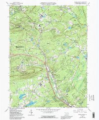
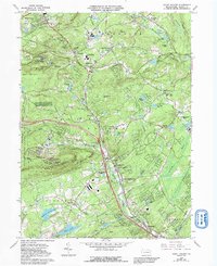
1966 Map of Mount Pocono
USGS Topo · Published 1992About this map
Pocono Manor and the surrounding highlands of Monroe Co. define this mid-century landscape of recreation and settlement. The map documents a transition from traditional township life to a regional destination, featuring numerous golf courses and seasonal developments alongside established villages like Tannersville and Reeders. Transport infrastructure is prominent, from the massive Interchange 44 on the new highway system to the persistent Old Railroad Grade winding through the hills near Camelback Mountain.
Find a feature on this map
79 named features on this map. Tap any name to fly to it.
Don’t see what you’re looking for? This feature index may not catch every label — zoom into the map to look around manually.
Map Details
Editions of this 1966 Mount Pocono Map
5 editions found
Other maps of this area

1891 · Delaware Water Gap
USGS Topo · 1:62,500

1893 · Delaware Water Gap
USGS Topo · 1:62,500

1914 · Wind Gap
USGS Topo · 1:62,500

1916 · Wind Gap
USGS Topo · 1:62,500

1919 · Pocono
USGS Topo · 1:62,500

1921 · Pocono
USGS Topo · 1:62,500

1923 · Pocono
USGS Topo · 1:62,500

1924 · Bushkill
USGS Topo · 1:48,000

1936 · Delaware Water Gap
USGS Topo · 1:48,000

1941 · Delaware Water Gap
USGS Topo · 1:62,500
Featured Places
- Mount Pocono, PA
- Paradise Township, PA
- Bartonsville, Pocono Township
- Pocono Township, PA
- Swiftwater, Pocono Township