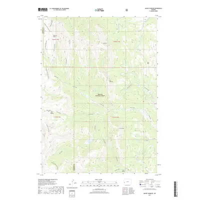
2017 Map of Mount Schidler
USGS Topo · Published 2017About this map
Mt Schidler and Coal Mine Mtn anchor this high-elevation landscape within the Bridger National Forest, where the border between Lincoln and Sublette counties runs along the crest of the Wyoming Range. This 2017 survey documents a complex network of alpine drainages including North Piney Creek and Lake Creek, which feeds into the secluded North Piney Lake. The terrain is defined by its recreation and resource history, evidenced by the Wyoming Range National Recreation Trail and various high passes like Box Canyon Pass and Bare Pass. Geologic and industrial markers are visible through features like Bare Mtn and the namesake peak, while seasonal grazing and hydrology are represented by sites such as North Piney Meadows and Lunch Creek Meadows. The presence of the Mud Lake Loop near Mud Lake reflects the modern management of this backcountry area.
Find a feature on this map
43 named features on this map. Tap any name to fly to it.
Don’t see what you’re looking for? This feature index may not catch every label — zoom into the map to look around manually.
Map Details
Editions of this 2017 Mount Schidler Map
This is the sole edition of this map. No revisions or reprints were ever made.
Other maps of this area
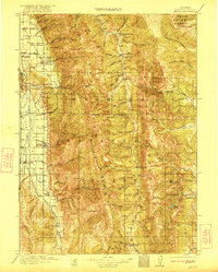
1921 · Afton
USGS Topo · 1:125,000
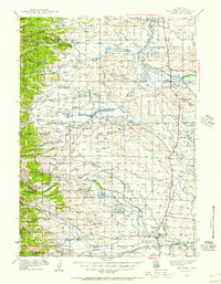
1939 · Big Piney
USGS Topo · 1:125,000
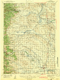
1942 · Big Piney
USGS Topo · 1:125,000

1955 · Preston
USGS Topo · 1:250,000

1958 · Preston
USGS Topo · 1:250,000

1962 · Preston
USGS Topo · 1:250,000
1980 · Red Castle Creek
USGS Topo · 1:24,000
1980 · Springman Creek
USGS Topo · 1:24,000
1980 · Triple Peak
USGS Topo · 1:24,000
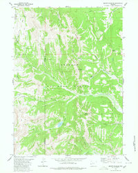
1980 · Mount Schidler
USGS Topo · 1:24,000