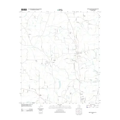
2012 Map of Mount Selman
USGS Topo · Published 2012About this map
Larissa and Mount Selman anchor this region of Cherokee County, where a network of rural county roads connects established settlements and family-named landmarks. The landscape is defined by the winding paths of Killough Cr and Flat Cr, which drain into localized reservoirs like Crysup Lake and Hollywood Lake. Genealogy researchers will find several well-documented burial sites throughout the quadrangle, including the Larissa Cem, Killough Cem, and Mt Comfort Cem. Local history is further reflected in features like the Mount Selman Speed Bowl, pointing to regional leisure traditions. The presence of both Tarrant Field Airport and Hunter Field Airport underscores the importance of light aviation in this rural Texas corridor, while terrain features like Snow Mtn and Wolf Hollow provide geographic context to the surrounding creek valleys.
Find a feature on this map
103 named features on this map. Tap any name to fly to it.
Don’t see what you’re looking for? This feature index may not catch every label — zoom into the map to look around manually.
Map Details
Editions of this 2012 Mount Selman Map
This is the sole edition of this map. No revisions or reprints were ever made.
Other maps of this area
1937 · Troupe
USGS Topo · 1:48,000
1943 · Troup
USGS Topo · 1:62,500
1943 · Rusk
USGS Topo · 1:62,500
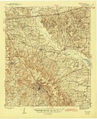
1945 · Rusk
USGS Topo · 1:62,500
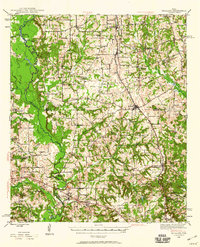
1946 · Bullard
USGS Topo · 1:62,500
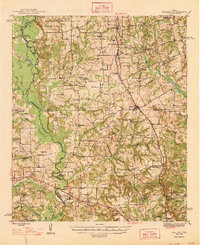
1948 · Bullard
USGS Topo · 1:62,500
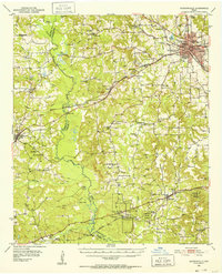
1951 · Jacksonville
USGS Topo · 1:62,500

1953 · Palestine
USGS Topo · 1:250,000

1956 · Tyler
USGS Topo · 1:250,000

1957 · Palestine
USGS Topo · 1:250,000