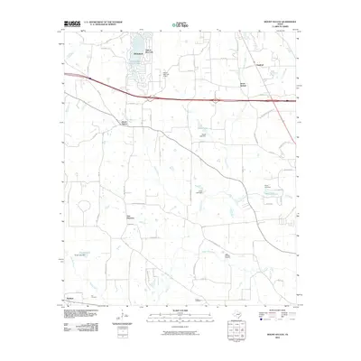
2010 Map of Mount Sylvan
USGS Topo · Published 2010About this map
Hideaway and the surrounding Smith County landscape are defined by a complex network of residential developments and rural agricultural corridors. This 2010 survey illustrates the significant water management across the terrain, featuring Hide-A-Way Lake and its associated Hide-A-Way Lake Airport, alongside numerous smaller impoundments like House Lake and Powell Pond. The western boundary is marked by the course of the Neches River, while the central area is drained by Prairie Creek and its tributaries, including Chinquapin Creek.
Find a feature on this map
66 named features on this map. Tap any name to fly to it.
Don’t see what you’re looking for? This feature index may not catch every label — zoom into the map to look around manually.
Map Details
Editions of this 2010 Mount Sylvan Map
This is the sole edition of this map. No revisions or reprints were ever made.
Other maps of this area

1948 · Tyler
USGS Topo · 1:62,500

1948 · Brownsboro
USGS Topo · 1:62,500

1949 · Tyler
USGS Topo · 1:62,500

1949 · Brownsboro
USGS Topo · 1:62,500

1956 · Tyler
USGS Topo · 1:250,000

1959 · Van Lake
USGS Topo · 1:24,000

1959 · Grand Saline
USGS Topo · 1:62,500

1960 · Lindale
USGS Topo · 1:24,000

1960 · Crow
USGS Topo · 1:24,000

1966 · Chandler
USGS Topo · 1:24,000