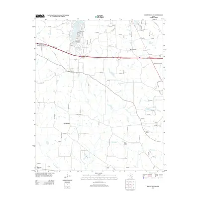
2012 Map of Mount Sylvan
USGS Topo · Published 2012About this map
Mount Sylvan and New Harmony anchor the central portion of this Smith County landscape, characterized by the dense network of county roads that weave between small settlements and rural homesteads. To the north, the planned residential community of Hideaway is defined by a distinct cluster of leisure-oriented street names like Treetop Ln and Ryder Cup Trl, centered around Hide-A-Way Lake. This development contrasts with the more traditional rural patterns found near Thedford and Wood Springs further east.
Find a feature on this map
114 named features on this map. Tap any name to fly to it.
Don’t see what you’re looking for? This feature index may not catch every label — zoom into the map to look around manually.
Map Details
Editions of this 2012 Mount Sylvan Map
This is the sole edition of this map. No revisions or reprints were ever made.
Other maps of this area

1948 · Tyler
USGS Topo · 1:62,500

1948 · Brownsboro
USGS Topo · 1:62,500

1949 · Tyler
USGS Topo · 1:62,500

1949 · Brownsboro
USGS Topo · 1:62,500

1956 · Tyler
USGS Topo · 1:250,000

1959 · Van Lake
USGS Topo · 1:24,000

1959 · Grand Saline
USGS Topo · 1:62,500

1960 · Lindale
USGS Topo · 1:24,000

1960 · Crow
USGS Topo · 1:24,000

1966 · Chandler
USGS Topo · 1:24,000