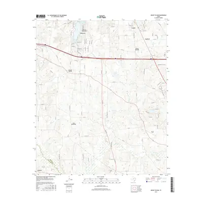
2016 Map of Mount Sylvan
USGS Topo · Published 2016About this map
Lindale and the surrounding Smith County communities are defined by a mix of planned lakeside residential areas and deep-rooted rural crossroads. The northern section of the map is dominated by the extensive water features of Hideaway, including Hide-A-Way Lake and Hide-A-Way Lake Number 1, reflecting modern suburban expansion. This contrasts with the established agricultural character found further south near New Harmony and Mount Sylvan. Family history is preserved across the landscape at several sites, including Sitton Cem, Hill Cem, and Verner Cem. The geography is etched by drainage networks like Prairie Cr and Black Fork Cr, while the Walk-Air Airport and the corridor of Interstate 20 represent the region's evolving transportation infrastructure in the early 21st century.
Find a feature on this map
83 named features on this map. Tap any name to fly to it.
Don’t see what you’re looking for? This feature index may not catch every label — zoom into the map to look around manually.
Map Details
Editions of this 2016 Mount Sylvan Map
This is the sole edition of this map. No revisions or reprints were ever made.
Other maps of this area

1948 · Tyler
USGS Topo · 1:62,500

1948 · Brownsboro
USGS Topo · 1:62,500

1949 · Tyler
USGS Topo · 1:62,500

1949 · Brownsboro
USGS Topo · 1:62,500

1956 · Tyler
USGS Topo · 1:250,000

1959 · Van Lake
USGS Topo · 1:24,000

1959 · Grand Saline
USGS Topo · 1:62,500

1960 · Lindale
USGS Topo · 1:24,000

1960 · Crow
USGS Topo · 1:24,000

1966 · Chandler
USGS Topo · 1:24,000