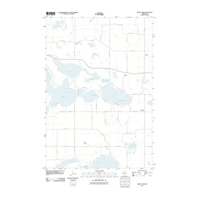
2010 Map of Mount Tom
USGS Topo · Published 2010About this map
Mount Tom rises as a prominent landmark amidst a dense network of glacial lakes and prairie waterways in this part of Kandiyohi County. The landscape is defined by its substantial water bodies, including Norway Lake, Games Lake, and Andrew Lake, which are interconnected by drainages such as Shakopee Creek. These lakes provided the primary orientation for early settlement in the region, a pattern reflected in the locations of historic burial grounds like Colfax Cemetery and Lake Andrew Cemetery found near the shorelines.
Find a feature on this map
55 named features on this map. Tap any name to fly to it.
Don’t see what you’re looking for? This feature index may not catch every label — zoom into the map to look around manually.
Map Details
Editions of this 2010 Mount Tom Map
This is the sole edition of this map. No revisions or reprints were ever made.
Other maps of this area

1953 · Saint Cloud
USGS Topo · 1:250,000

1956 · Atwater
USGS Topo · 1:62,500

1957 · Saint Cloud
USGS Topo · 1:250,000

1958 · Saint Cloud
USGS Topo · 1:250,000

1958 · Pennock
USGS Topo · 1:24,000

1958 · Solomon Lake
USGS Topo · 1:24,000

1967 · Mount Tom
USGS Topo · 1:24,000

1967 · Sunburg
USGS Topo · 1:24,000

1967 · Belgrade
USGS Topo · 1:24,000

1967 · Lake Johanna
USGS Topo · 1:24,000