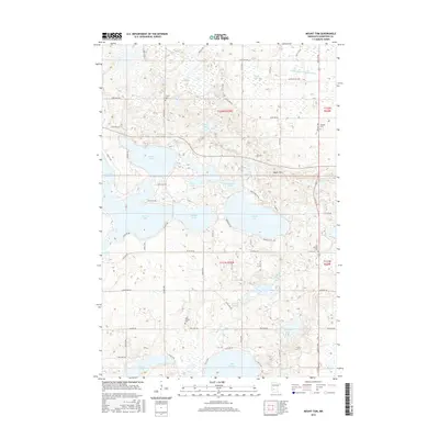
2016 Map of Mount Tom
USGS Topo · Published 2016About this map
Mount Tom rises as a prominent high point in this landscape of glacial lakes and prairie depressions. This section of Kandiyohi County is defined by a dense network of water bodies, from the sprawling Andrew Lake and Lake Florida in the south to Games Lake and Norway Lake in the west. The drainage patterns are clearly marked by Shakopee Cr and several managed waterways such as County Ditch Number B Four.
Find a feature on this map
65 named features on this map. Tap any name to fly to it.
Don’t see what you’re looking for? This feature index may not catch every label — zoom into the map to look around manually.
Map Details
Editions of this 2016 Mount Tom Map
This is the sole edition of this map. No revisions or reprints were ever made.
Other maps of this area
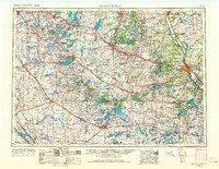
1953 · Saint Cloud
USGS Topo · 1:250,000
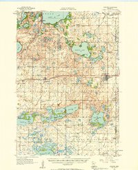
1956 · Atwater
USGS Topo · 1:62,500
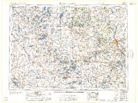
1957 · Saint Cloud
USGS Topo · 1:250,000
1958 · Saint Cloud
USGS Topo · 1:250,000
1958 · Pennock
USGS Topo · 1:24,000
1958 · Solomon Lake
USGS Topo · 1:24,000
1967 · Mount Tom
USGS Topo · 1:24,000
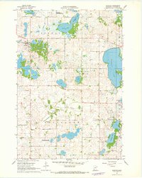
1967 · Sunburg
USGS Topo · 1:24,000
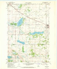
1967 · Belgrade
USGS Topo · 1:24,000
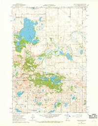
1967 · Lake Johanna
USGS Topo · 1:24,000