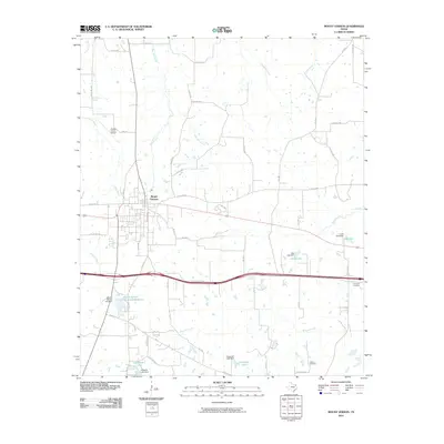
2010 Map of Mount Vernon
USGS Topo · Published 2010About this map
Mount Vernon serves as the central hub of this Franklin County landscape, where the town's residential and commercial grid meets a network of vital water management features. The local geography is defined by small reservoirs and their supporting infrastructure, including the Mount Vernon Municipal Reservoir, Lake Ione, and Carpenter Lake, each controlled by its own dedicated dam. To the north and east, the land is etched by a drainage system that includes Timber Creek, Bear Pen Creek, and Ripley Creek, which flow through the agricultural periphery of the settlement.
Find a feature on this map
51 named features on this map. Tap any name to fly to it.
Don’t see what you’re looking for? This feature index may not catch every label — zoom into the map to look around manually.
Map Details
Editions of this 2010 Mount Vernon Map
This is the sole edition of this map. No revisions or reprints were ever made.
Other maps of this area

1953 · Texarkana
USGS Topo · 1:250,000

1956 · Texarkana
USGS Topo · 1:250,000

1963 · Mitchell Creek
USGS Topo · 1:24,000

1964 · Mount Vernon
USGS Topo · 1:24,000

1964 · Saltillo
USGS Topo · 1:24,000

1964 · Talco
USGS Topo · 1:24,000

1964 · Hagansport
USGS Topo · 1:24,000

1964 · Purley
USGS Topo · 1:24,000

1965 · Winfield
USGS Topo · 1:24,000

1965 · Monticello
USGS Topo · 1:24,000