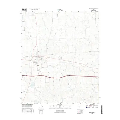
2016 Map of Mount Vernon
USGS Topo · Published 2016About this map
Mount Vernon serves as the focal point of this East Texas survey, revealing a well-established grid of residential streets like English St and Kaufman St north of the central business district. The landscape is defined by the convergence of several waterways, including Ripley Cr and Town Br, which drain toward a series of local impoundments such as Lake Ione and the Mount Vernon Municipal Reservoir. Transportation is a dominant theme, with the modern path of Interstate 30 cutting through the southern half of the quadrangle, contrasted by the rural network of county roads like Co Rd NE 2160 that connect outlying agricultural lands. Genealogists may find particular value in the locations of Grayrock Cem and Fuquay Cem, which sit alongside the area's creeks and smaller water bodies like Deal Lake and Carpenter Lake.
Find a feature on this map
79 named features on this map. Tap any name to fly to it.
Don’t see what you’re looking for? This feature index may not catch every label — zoom into the map to look around manually.
Map Details
Editions of this 2016 Mount Vernon Map
This is the sole edition of this map. No revisions or reprints were ever made.
Other maps of this area
1953 · Texarkana
USGS Topo · 1:250,000
1956 · Texarkana
USGS Topo · 1:250,000
1963 · Mitchell Creek
USGS Topo · 1:24,000
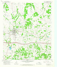
1964 · Mount Vernon
USGS Topo · 1:24,000
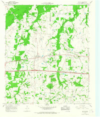
1964 · Saltillo
USGS Topo · 1:24,000
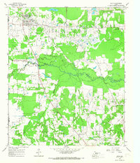
1964 · Talco
USGS Topo · 1:24,000
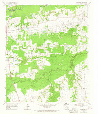
1964 · Hagansport
USGS Topo · 1:24,000
1964 · Purley
USGS Topo · 1:24,000
1965 · Winfield
USGS Topo · 1:24,000
1965 · Monticello
USGS Topo · 1:24,000