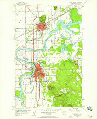
1956 Map of Mount Vernon
USGS Topo · Published 1958About this map
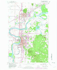
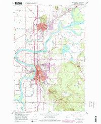
The Skagit River dominates this mid-century landscape, winding through a complex network of sloughs and islands including Hart Island and Fir Island. In the mid-1950s, Mount Vernon and Burlington serve as the primary hubs of activity, linked by the Great Northern railroad and the scenic Chuckanut Drive. The map documents a transition in local education, showing the Skagit Valley Jr College campus alongside numerous neighborhood institutions like Washington School, Lincoln Sch, and Jefferson School. Industrial and agricultural infrastructure is evident in the County Farm, various gravel pits, and the Highway Patrol Microwave Sta atop Little Mtn. The detailed drainage of the Skagit valley is meticulously recorded, from Gages Slough to the prominent Barney Lake, illustrating how the waterway shaped the settlement patterns of towns like Skagit City and Sterling.
Find a feature on this map
73 named features on this map. Tap any name to fly to it.
Don’t see what you’re looking for? This feature index may not catch every label — zoom into the map to look around manually.
Map Details
Editions of this 1956 Mount Vernon Map
6 editions found
Other maps of this area

1911 · Mount Vernon
USGS Topo · 1:125,000

1918 · Samish Lake
USGS Topo · 1:62,500

1921 · Wickersham
USGS Topo · 1:62,500

1940 · Mt Vernon
USGS Topo · 1:62,500

1943 · Mt Vernon
USGS Topo · 1:62,500

1944 · Clear Lake
USGS Topo · 1:62,500

1951 · Wickersham
USGS Topo · 1:62,500

1952 · Alger
USGS Topo · 1:24,000

1954 · Bow
USGS Topo · 1:24,000

1954 · Samish Lake
USGS Topo · 1:62,500