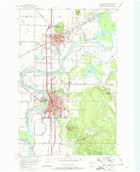
1956 Map of Mount Vernon
USGS Topo · Published 1974About this map
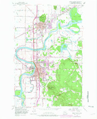
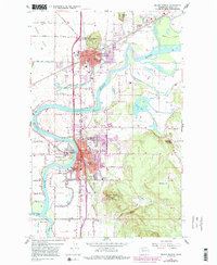
The Skagit River meanders through the heart of this Skagit Valley landscape, defining the boundaries and development of Mount Vernon and Burlington. During the mid-1950s, the area’s identity was tied to both its fertile floodplains and its position as a regional hub, evidenced by the concentration of educational institutions like the Skagit Valley Jr College High School and Lincoln Sch. The map reveals the intricate water network supporting the valley, from the winding Britt Slough to the wetlands of Barney Lake and the various islands like Hart Island and Fir Island.
Find a feature on this map
75 named features on this map. Tap any name to fly to it.
Don’t see what you’re looking for? This feature index may not catch every label — zoom into the map to look around manually.
Map Details
Editions of this 1956 Mount Vernon Map
6 editions found
Other maps of this area

1911 · Mount Vernon
USGS Topo · 1:125,000

1918 · Samish Lake
USGS Topo · 1:62,500

1921 · Wickersham
USGS Topo · 1:62,500

1940 · Mt Vernon
USGS Topo · 1:62,500

1943 · Mt Vernon
USGS Topo · 1:62,500

1944 · Clear Lake
USGS Topo · 1:62,500

1951 · Wickersham
USGS Topo · 1:62,500

1952 · Alger
USGS Topo · 1:24,000

1954 · Bow
USGS Topo · 1:24,000

1954 · Samish Lake
USGS Topo · 1:62,500