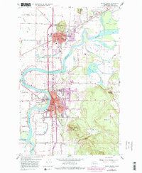
1956 Map of Mount Vernon
USGS Topo · Published 1992About this map
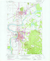
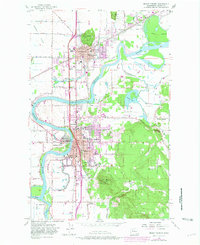
The Skagit River dominates this mid-century landscape as it winds through the alluvial valley, branching into the N Fork and S Fork around Fir Island. The area's development is centered on Mount Vernon and Burlington, showing a dense network of local schools including Washington School, Lincoln Sch, and Roosevelt Sch. The industrial and agricultural character of the era is evident in the presence of the Burlington Northern railroad lines and the numerous sloughs like Britt Slough and Gages Slough that crisscross the lowlands. Significant landmarks such as Skagit Valley College and Barker Airfield sit alongside topographic features like Little Mtn and Burlington Hill, while smaller settlements like Sterling and Skagit City represent the established riverfront communities before late-century expansion. The map also traces the transition of the landscape with several quarries, borrow pits, and the distinctive Big Rock formation overlooking Baker Heights.
Find a feature on this map
85 named features on this map. Tap any name to fly to it.
Don’t see what you’re looking for? This feature index may not catch every label — zoom into the map to look around manually.
Map Details
Editions of this 1956 Mount Vernon Map
6 editions found
Other maps of this area

1911 · Mount Vernon
USGS Topo · 1:125,000

1918 · Samish Lake
USGS Topo · 1:62,500

1921 · Wickersham
USGS Topo · 1:62,500

1940 · Mt Vernon
USGS Topo · 1:62,500

1943 · Mt Vernon
USGS Topo · 1:62,500

1944 · Clear Lake
USGS Topo · 1:62,500

1951 · Wickersham
USGS Topo · 1:62,500

1952 · Alger
USGS Topo · 1:24,000

1954 · Bow
USGS Topo · 1:24,000

1954 · Samish Lake
USGS Topo · 1:62,500