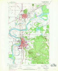
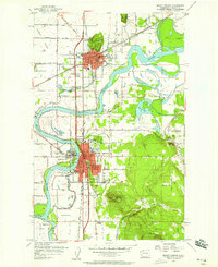
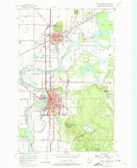
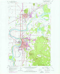
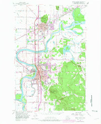
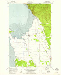
1956 Map of Mount Vernon
USGS Topo · Published 1969About this map
The Skagit River dominates this mid-century landscape as it winds between the growing centers of Mount Vernon and Burlington. Settlement is concentrated along the river corridor and the Great Northern railroad, with the urban footprint expanding significantly by the late 1960s. Educational and community infrastructure is well-documented, from local landmarks like the Skagit Valley Jr College and Washington School to the outlying Westview School and Seventh Day Adventist Sch.
Find a feature on this map
72 named features on this map. Tap any name to fly to it.
Don’t see what you’re looking for? This feature index may not catch every label — zoom into the map to look around manually.
Map Details
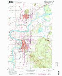
Editions of this 1956 Mount Vernon Map
6 editions found
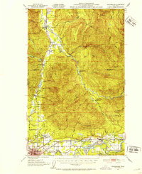
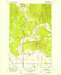
Other maps of this area

1911 · Mount Vernon
USGS Topo · 1:125,000

1918 · Samish Lake
USGS Topo · 1:62,500

1921 · Wickersham
USGS Topo · 1:62,500

1940 · Mt Vernon
USGS Topo · 1:62,500

1943 · Mt Vernon
USGS Topo · 1:62,500

1944 · Clear Lake
USGS Topo · 1:62,500
1951 · Wickersham
USGS Topo · 1:62,500
1952 · Alger
USGS Topo · 1:24,000
1954 · Bow
USGS Topo · 1:24,000

1954 · Samish Lake
USGS Topo · 1:62,500