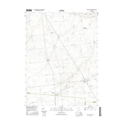
2016 Map of Mount Victory
USGS Topo · Published 2016About this map
Mount Victory and Ridgeway serve as the primary population centers on this landscape where the boundaries of Hardin, Logan, and Union counties converge. The terrain is defined by a dense network of small watercourses, including Wolf Cr, Panther Cr, and Gander Run, which feed into the larger Scioto River flowing across the northern edge. The area is marked by numerous rural settlements and named locations such as Mentzer, Grassy Point, and Elliotts Landing, suggesting a long-standing agricultural and residential pattern. Several historic burial grounds, including Lynn Grove Cem, Hale Cem, and Morrison Cem, are distributed throughout the township grid, providing valuable touchpoints for genealogical research. The layout of county and township roads, like Co RD 190 and TWP RD 240, highlights the methodical organization of these Ohio farm lands.
Find a feature on this map
64 named features on this map. Tap any name to fly to it.
Don’t see what you’re looking for? This feature index may not catch every label — zoom into the map to look around manually.
Map Details
Editions of this 2016 Mount Victory Map
This is the sole edition of this map. No revisions or reprints were ever made.
Other maps of this area

1913 · East Liberty
USGS Topo · 1:62,500

1913 · Richwood
USGS Topo · 1:62,500

1915 · Richwood
USGS Topo · 1:62,500

1915 · East Liberty
USGS Topo · 1:62,500

1915 · Kenton
USGS Topo · 1:62,500

1915 · La Rue
USGS Topo · 1:62,500

1944 · East Liberty
USGS Topo · 1:62,500

1944 · Kenton
USGS Topo · 1:62,500

1944 · Richwood
USGS Topo · 1:62,500

1950 · Marion
USGS Topo · 1:250,000