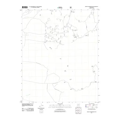
2011 Map of Mount Washington
USGS Topo · Published 2011About this map
Sol se Mete Peak and Mount Washington anchor this high-elevation landscape in Bernalillo County, which is defined by a deep history of mineral exploration and rugged transportation routes. The 2011 survey reveals an intricate network of specialized roads, including Indian Service Route 601, Indian Service Route 60, and Forest Rd 530, which provide access to numerous legacy mining sites. These include the Isleta Quartz Mine, the Milagros Mine, and the Galena King, alongside several prospects such as the Eighty-Five Prospect and Moore Prospect. The presence of the Manzano Lookout Tower and diverse claims like the Quail Lode and Hardinand Claim suggests a terrain that has long been managed for both its natural resources and territorial surveillance. Drainage patterns are carved by Arroyo del Coyote in the north and the extensive Hells Canyon Wash to the south.
Find a feature on this map
24 named features on this map. Tap any name to fly to it.
Don’t see what you’re looking for? This feature index may not catch every label — zoom into the map to look around manually.
Map Details
Editions of this 2011 Mount Washington Map
This is the sole edition of this map. No revisions or reprints were ever made.
Other maps of this area

1888 · Bernalillo
USGS Topo · 1:125,000

1889 · Albuquerque
USGS Topo · 1:125,000

1892 · San Pedro
USGS Topo · 1:125,000

1893 · Albuquerque
USGS Topo · 1:125,000

1917 · Estancia
USGS Topo · 1:125,000

1934 · East Albuquerque
USGS Topo · 1:24,000

1938 · Albuquerque
USGS Topo · 1:62,500

1952 · Hubbell Spring
USGS Topo · 1:24,000

1952 · Los Lunas SE
USGS Topo · 1:24,000

1954 · Bosque Peak
USGS Topo · 1:24,000