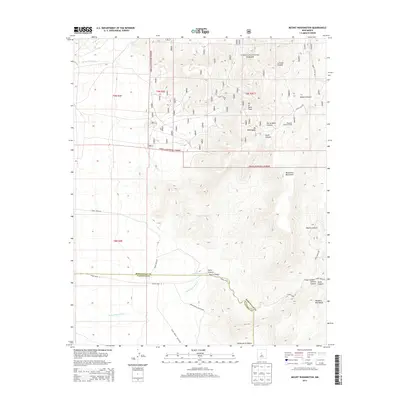
2013 Map of Mount Washington
USGS Topo · Published 2013About this map
Cibola National Forest dominates the high-altitude landscape of this 2013 survey, where the Manzanita Mountains and Manzano Mountains converge. This area is defined by its dramatic elevation changes and a sophisticated network of tribal and forest service routes, such as Tribal Road 12 and Indian Service Route 605, which navigate the complex drainage systems of Hells Canyon Wash and Cañada Colorada.
Find a feature on this map
29 named features on this map. Tap any name to fly to it.
Don’t see what you’re looking for? This feature index may not catch every label — zoom into the map to look around manually.
Map Details
Editions of this 2013 Mount Washington Map
This is the sole edition of this map. No revisions or reprints were ever made.
Other maps of this area

1888 · Bernalillo
USGS Topo · 1:125,000

1889 · Albuquerque
USGS Topo · 1:125,000

1892 · San Pedro
USGS Topo · 1:125,000

1893 · Albuquerque
USGS Topo · 1:125,000

1917 · Estancia
USGS Topo · 1:125,000

1934 · East Albuquerque
USGS Topo · 1:24,000

1938 · Albuquerque
USGS Topo · 1:62,500

1952 · Hubbell Spring
USGS Topo · 1:24,000

1952 · Los Lunas SE
USGS Topo · 1:24,000

1954 · Bosque Peak
USGS Topo · 1:24,000