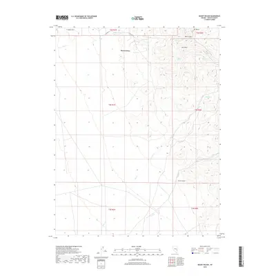
2018 Map of Mount Wilson
USGS Topo · Published 2018About this map
Mount Wilson dominates this portion of Lincoln County, defining a landscape shaped by high-elevation springs and deep drainage systems. The terrain is a network of water sources, from Matley Spring and Pine Spring in the north to the more secluded Badger Spring and Rock Spring further east. These points of water, along with named basins like Horn Basin, suggest the historic importance of reliable water for livestock and travel in this arid environment.
Find a feature on this map
25 named features on this map. Tap any name to fly to it.
Don’t see what you’re looking for? This feature index may not catch every label — zoom into the map to look around manually.
Map Details
Editions of this 2018 Mount Wilson Map
This is the sole edition of this map. No revisions or reprints were ever made.
Other maps of this area

1915 · Bristol Range
USGS Topo · 1:62,500

1917 · Bristol Range
USGS Topo · 1:62,500

1953 · Bristol Range SE
USGS Topo · 1:24,000

1956 · Lund
USGS Topo · 1:250,000

1960 · Lund
USGS Topo · 1:250,000
1970 · Mt. Wilson SW
USGS Topo · 1:24,000
1970 · Mt. Wilson
USGS Topo · 1:24,000

1970 · Pierson Summit
USGS Topo · 1:24,000

1970 · Parsnip Peak
USGS Topo · 1:24,000
1971 · Bristol Range NE
USGS Topo · 1:24,000