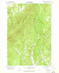
1968 Map of Mount Worcester
USGS Topo · Published 1972About this map
Putnam State Forest dominates this topographic study of the Worcester Mountains, a landscape defined by sharp elevation changes and high-altitude water bodies. Centered on the peak of Mount Worcester, the map illustrates a rugged interior with few through-roads, relying instead on a network of trails and a jeep trail to navigate the steep drainage basins. Water flows from these heights via numerous seasonal and permanent streams, including Catamount Brook, Hancock Brook, and Minister Brook, which feed into the North Branch.
Find a feature on this map
32 named features on this map. Tap any name to fly to it.
Don’t see what you’re looking for? This feature index may not catch every label — zoom into the map to look around manually.
Map Details
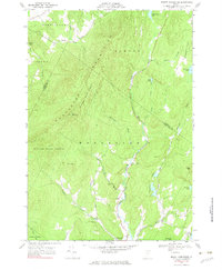
Editions of this 1968 Mount Worcester Map
2 editions found
Other maps of this area

1919 · Montpelier
USGS Topo · 1:62,500

1921 · Montpelier
USGS Topo · 1:62,500

1927 · Hyde Park
USGS Topo · 1:48,000

1928 · Hardwick
USGS Topo · 1:62,500

1930 · Hyde Park
USGS Topo · 1:62,500

1934 · Hardwick
USGS Topo · 1:48,000

1938 · Hardwick
USGS Topo · 1:62,500

1939 · Plainfield
USGS Topo · 1:48,000

1940 · Plainfield
USGS Topo · 1:62,500

1943 · Plainfield
USGS Topo · 1:62,500