Loading...
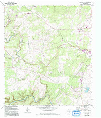
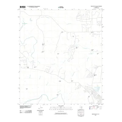
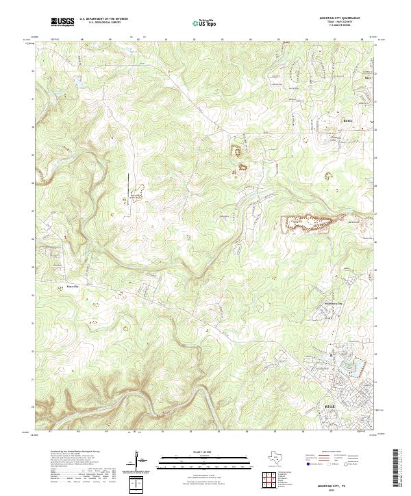
Loading map...1968 Map of Mountain City
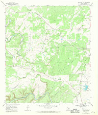
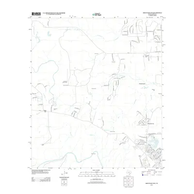
USGS Topo · Published 1994About this map
Onion Creek winds through the heart of the Hays County landscape, joined by numerous tributaries including Little Bear Creek and Mustang Branch. This 1968 survey, revised in the early 1990s, documents the rural character of the region before the significant suburban expansion of the late 20th century. Local landmarks like the Onion Creek Lodge and the Barton Cem sit alongside the winding Blanco River at the southern edge of the sheet.
Find a feature on this map
32 named features on this map. Tap any name to fly to it.
Don’t see what you’re looking for? This feature index may not catch every label — zoom into the map to look around manually.
Map Details
Date Portrayed1968
Date Published1994
PublisherU.S. Geological Survey
Map TypeTopographic
Scale1:24,000
Physical Dimensions23.2 x 27 inches
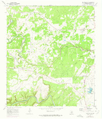
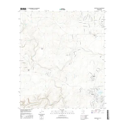
Editions of this 1968 Mountain City Map
4 editions found
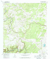
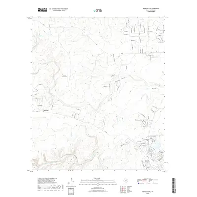
Historical Maps of Kyle Through Time
6 maps found
Featured Locations
Source Details
SourceU.S. Geological Survey
CopyrightPublic Domain