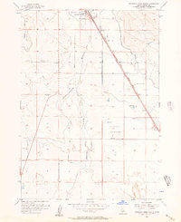
1956 Map of Mountain Home South
USGS Topo · Published 1957About this map
Mountain Home serves as the focal point for this mid-century look at the Idaho high desert, where water management and historic transportation corridors define the landscape. The infrastructure of the Union Pacific railroad and the Old Oregon Trail (Oregon Short Line) Highway cut a straight diagonal across the terrain, illustrating the importance of this passage for regional connectivity. Beneath the modern roadway, a network of older routes including the Old Lamberton Trail, the Freight Trail, and the Old Mountain City-Mountain Home Trail suggests a deeper history of local movement and commerce. The arid environment is shaped by human intervention, visible in the East Side Canal and various irrigation ditches that feed into Clover Hollow and across Slade Flat. Significant local markers like the Vabm 3143 Cistern and a Gravel Pit indicate the utilitarian nature of the outskirts during this period.
Find a feature on this map
18 named features on this map. Tap any name to fly to it.
Don’t see what you’re looking for? This feature index may not catch every label — zoom into the map to look around manually.
Map Details
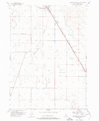
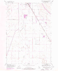
Editions of this 1956 Mountain Home South Map
3 editions found
Other maps of this area

1892 · Mountain Home
USGS Topo · 1:125,000

1893 · Mountain Home
USGS Topo · 1:125,000

1947 · Bruneau
USGS Topo · 1:62,500

1947 · Indian Cove
USGS Topo · 1:24,000

1947 · Sand Dunes
USGS Topo · 1:24,000

1947 · Bruneau
USGS Topo · 1:24,000

1948 · Sand Dunes
USGS Topo · 1:24,000

1948 · Indian Cove
USGS Topo · 1:24,000
1948 · Bruneau
USGS Topo · 1:24,000

1948 · Indian Cove
USGS Topo · 1:62,500