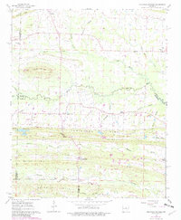
1963 Map of Mountain Springs
USGS Topo · Published 1982About this map
Mountain Springs and the rural crossroads of El Paso anchor this study of the central Arkansas landscape where several county lines converge. The terrain is defined by prominent ridges and hills, including Lewisburg Ridge, Haymes Hill, and Round Mountain, where local Mines and Quarries suggest early geological industry. The area is heavily intersected by small watercourses like Little Cypress Creek and Magness Creek, which likely dictated the placement of early homesteads and farmsteads.
Find a feature on this map
45 named features on this map. Tap any name to fly to it.
Don’t see what you’re looking for? This feature index may not catch every label — zoom into the map to look around manually.
Map Details
Editions of this 1963 Mountain Springs Map
3 editions found
Other maps of this area

1891 · Little Rock
USGS Topo · 1:125,000

1893 · Little Rock
USGS Topo · 1:125,000

1940 · Lonoke
USGS Topo · 1:62,500

1941 · Olmstead
USGS Topo · 1:31,680

1941 · Cabot
USGS Topo · 1:31,680

1948 · Helena
USGS Topo · 1:250,000

1949 · Lonoke
USGS Topo · 1:62,500

1950 · Helena
USGS Topo · 1:250,000

1950 · Lonoke
USGS Topo · 1:62,500

1953 · Memphis
USGS Topo · 1:250,000