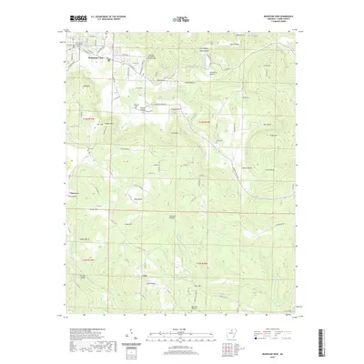
2020 Map of Mountain View
USGS Topo · Published 2020About this map
The Stone County Courthouse serves as the focal point for Mountain View, where the Ozark plateau's rugged geography dictates the layout of local roads and settlements. This 2020 record illustrates the transition from the structured town grid, featuring streets like E Main St and Airport Dr, to the winding rural routes that navigate the numerous hollows and ridges of the surrounding countryside.
Find a feature on this map
72 named features on this map. Tap any name to fly to it.
Don’t see what you’re looking for? This feature index may not catch every label — zoom into the map to look around manually.
Map Details
Editions of this 2020 Mountain View Map
This is the sole edition of this map. No revisions or reprints were ever made.
Other maps of this area

1890 · Batesville
USGS Topo · 1:125,000

1891 · Batesville
USGS Topo · 1:125,000
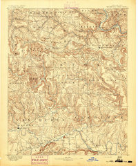
1892 · Mountain View
USGS Topo · 1:125,000
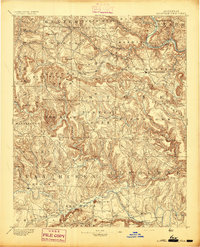
1894 · Mountain View
USGS Topo · 1:125,000

1953 · Memphis
USGS Topo · 1:250,000

1956 · Memphis
USGS Topo · 1:250,000

1956 · Russellville
USGS Topo · 1:250,000
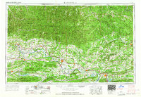
1964 · Russellville
USGS Topo · 1:250,000
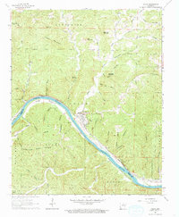
1964 · Guion
USGS Topo · 1:24,000
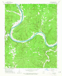
1964 · Sylamore
USGS Topo · 1:24,000