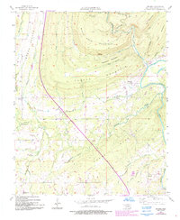
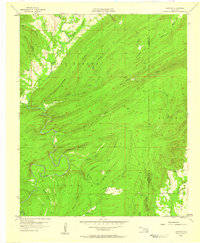
1957 Map of Moyers
USGS Topo · Published 1993About this map
The Kiamichi River valley dominates this Pushmataha County landscape, where the settlement of Moyers is situated near an Old Railroad Grade. This mid-century survey captures the region as the Indian Nation Turnpike was established, cutting a diagonal path across the rugged terrain of White Rock Mountain and Parker Mountain. The map reveals a rural infrastructure of small communities and family-named landmarks, such as Miller and Kellond, alongside essential local institutions like Sugarloaf Sch.
Find a feature on this map
34 named features on this map. Tap any name to fly to it.
Don’t see what you’re looking for? This feature index may not catch every label — zoom into the map to look around manually.
Map Details
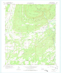
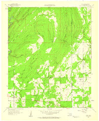
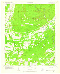
Editions of this 1957 Moyers Map
3 editions found
Other maps of this area

1901 · Antlers
USGS Topo · 1:125,000

1912 · Antlers
USGS Topo · 1:125,000

1925 · Antlers
USGS Topo · 1:125,000

1950 · Mcalester
USGS Topo · 1:250,000
1957 · Farris
USGS Topo · 1:24,000
1957 · Moyers
USGS Topo · 1:24,000

1957 · Jumbo
USGS Topo · 1:24,000
1957 · Lane NE
USGS Topo · 1:24,000
1961 · Darwin
USGS Topo · 1:24,000
1961 · Antlers East
USGS Topo · 1:24,000