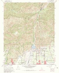
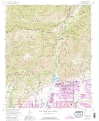
1967 Map of Mt. Baldy
USGS Topo · Published 1983About this map
Angeles National Forest and the Cucamonga Wilderness dominate the northern landscape of this survey, where the peaks of the San Gabriel Mountains meet the developing edge of the Inland Empire. The settlement of Mt Baldy sits deep within San Antonio Canyon, while the communities of Upland and Claremont expand northward to the base of the range. Hydrological management is central to this era, evidenced by the San Antonio Reservoir behind the San Antonio Dam and a series of debris basins and dams like the Thompson Creek Dam. Higher elevations reveal a network of fire breaks and trails, including the Glendora Ridge Road and Sunset Trail, which weave through terrain marked by landmarks like Sunset Peak and Stoddard Peak. Educational growth is visible in the suburban transition, with Valencia Sch and Pioneer Jr High Sch serving the local residential blocks.
Find a feature on this map
69 named features on this map. Tap any name to fly to it.
Don’t see what you’re looking for? This feature index may not catch every label — zoom into the map to look around manually.
Map Details
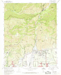
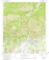
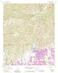
Editions of this 1967 Mt. Baldy Map
5 editions found
Other maps of this area

1894 · Pomona
USGS Topo · 1:62,500

1897 · Pomona
USGS Topo · 1:62,500

1897 · Cucamonga
USGS Topo · 1:62,500

1898 · Pomona
USGS Topo · 1:62,500

1900 · Cucamonga
USGS Topo · 1:62,500

1901 · Southern California Sheet No. 1
USGS Topo · 1:250,000

1903 · Rock Creek
USGS Topo · 1:62,500

1903 · Cucamonga
USGS Topo · 1:62,500

1903 · San Antonio
USGS Topo · 1:62,500

1904 · Pomona
USGS Topo · 1:62,500