
1967 Map of Mt. Baldy
USGS Topo · Published 1988About this map
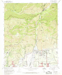
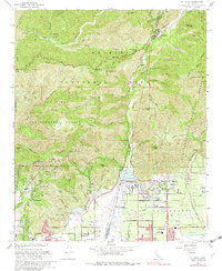
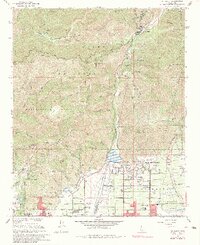
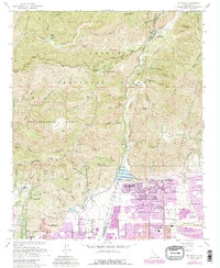
San Antonio Dam and its expansive Percolation Basin dominate the lower foothills, managing the runoff from the high ridges of the Angeles National Forest. This 1967 survey, later revised to include the suburban growth of Upland and Claremont in purple, illustrates the sharp boundary between the residential valley and the steep canyons of the Cucamonga Wilderness. In the north, the village of Mt Baldy and the settlement at Barrett serve as gateway points to the mountains, while the lower slopes host institutional landmarks like the Padua Hills Theater and Scudder-Oaks Sch. The terrain is marked by a complex network of drainages including San Antonio Creek and Cucamonga Creek, which carved the landscape long before the modern expansion of San Antonio Heights pushed against the protected boundaries of the San Dimas Experimental Forest.
Find a feature on this map
50 named features on this map. Tap any name to fly to it.
Don’t see what you’re looking for? This feature index may not catch every label — zoom into the map to look around manually.
Map Details
Editions of this 1967 Mt. Baldy Map
5 editions found
Other maps of this area

1894 · Pomona
USGS Topo · 1:62,500

1897 · Pomona
USGS Topo · 1:62,500

1897 · Cucamonga
USGS Topo · 1:62,500

1898 · Pomona
USGS Topo · 1:62,500

1900 · Cucamonga
USGS Topo · 1:62,500

1901 · Southern California Sheet No. 1
USGS Topo · 1:250,000

1903 · Rock Creek
USGS Topo · 1:62,500

1903 · Cucamonga
USGS Topo · 1:62,500

1903 · San Antonio
USGS Topo · 1:62,500

1904 · Pomona
USGS Topo · 1:62,500