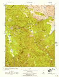
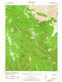
1938 Map of Mt. Boardman
USGS Topo · Published 1957About this map
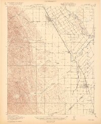
Mt. Boardman stands as a prominent landmark in this 1938 survey, which covers the mountainous borderlands where Alameda, San Joaquin, and Stanislaus counties converge. The landscape is defined by an intricate network of deep canyons and ridgelines, including Arkansas Canyon and Wilcox Ridge, supporting a scattered community of high-altitude ranching and industry. Mining operations like the Westvaco Mine, Western Mine, and Adobe Mine point to the area's geological extraction history, while the presence of the San Antonio Valley Sch and the Stanislaus Co Road Camp indicate a established local infrastructure.
Find a feature on this map
61 named features on this map. Tap any name to fly to it.
Don’t see what you’re looking for? This feature index may not catch every label — zoom into the map to look around manually.
Map Details
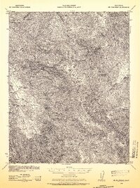
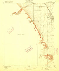
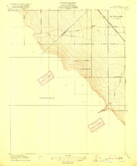
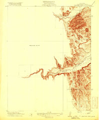
Editions of this 1938 Mt. Boardman Map
3 editions found
Other maps of this area

1897 · Mt. Hamilton
USGS Topo · 1:62,500

1907 · Tesla
USGS Topo · 1:62,500

1913 · Romain
USGS Topo · 1:31,680
1915 · Westley
USGS Topo · 1:31,680
1916 · Patterson
USGS Topo · 1:31,680
1916 · Romain
USGS Topo · 1:31,680

1917 · Morgan Hill
USGS Topo · 1:62,500
1919 · Orestimba
USGS Topo · 1:62,500
1919 · Orestimba Creek
USGS Topo · 1:31,680

1920 · Pacheco Pass
USGS Topo · 1:62,500