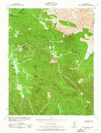
1938 Map of Mt. Boardman
USGS Topo · Published 1963About this map
Mt. Boardman stands at the convergence of four California counties — Alameda, Santa Clara, San Joaquin, and Stanislaus — anchor to a landscape of deep canyons and isolated ranching outposts. This 1940s-era topography reveals a remote interior economy defined by mining and family-held livestock operations. The Westvaco Mine and Western Mine mark the industrial activity of the period, while numerous homesteads like Williams Ranch, Jordan Ranch, and Gerber Ranch are scattered across the terrain. In the San Antonio Valley, a small community center is anchored by the San Antonio Valley Sch and the Shanti Ashrama retreat. The presence of the Stanislaus Co Road Camp and Mikes Peak Lookout underscores the logistical management of this backcountry during the early 20th century.
Find a feature on this map
64 named features on this map. Tap any name to fly to it.
Don’t see what you’re looking for? This feature index may not catch every label — zoom into the map to look around manually.
Map Details
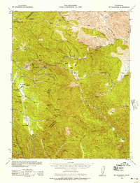
Editions of this 1938 Mt. Boardman Map
3 editions found

Other maps of this area

1897 · Mt. Hamilton
USGS Topo · 1:62,500

1907 · Tesla
USGS Topo · 1:62,500

1913 · Romain
USGS Topo · 1:31,680

1915 · Westley
USGS Topo · 1:31,680

1916 · Patterson
USGS Topo · 1:31,680

1916 · Romain
USGS Topo · 1:31,680

1917 · Morgan Hill
USGS Topo · 1:62,500

1919 · Orestimba
USGS Topo · 1:62,500

1919 · Orestimba Creek
USGS Topo · 1:31,680

1920 · Pacheco Pass
USGS Topo · 1:62,500