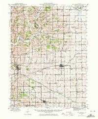
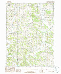
1942 Map of Mt Carroll
USGS Topo · Published 1972About this map
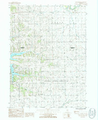
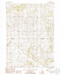
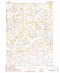
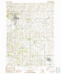
The county seat of Mt Carroll sits at the heart of this early 1940s landscape, serving as a hub for the agricultural and railroad activity of the region. Three major rail lines, including the Chicago Milwaukee St Paul and Pacific and the Chicago Burlington and Quincy, carve through the terrain, meeting at critical points like Ashdale Junc. The map reveals a dense network of local education and social structures, with dozens of family-named schoolhouses such as Kingery Sch, Slick Sch, and Rogers Sch dotting the countryside outside the larger settlements of Lanark and Chadwick.
Find a feature on this map
87 named features on this map. Tap any name to fly to it.
Don’t see what you’re looking for? This feature index may not catch every label — zoom into the map to look around manually.
Map Details
Editions of this 1942 Mt Carroll Map
2 editions found
Historical Maps of Mount Carroll Through Time
40 maps found
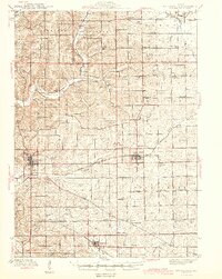
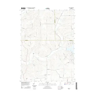
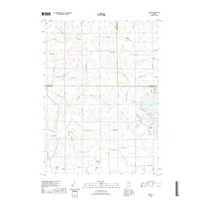
1942 Mt Carroll
Carroll County, IL
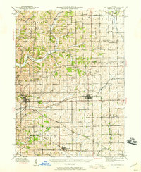
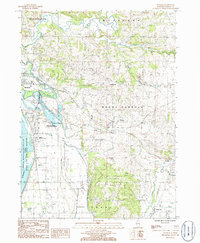
1944 Mt. Carroll
Carroll County, IL
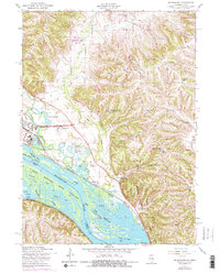
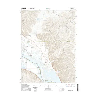
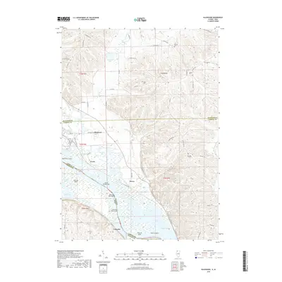
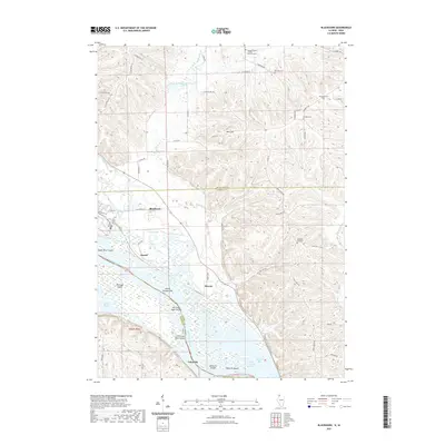
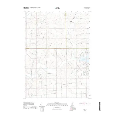
1953 Blackhawk
Carroll County, IL
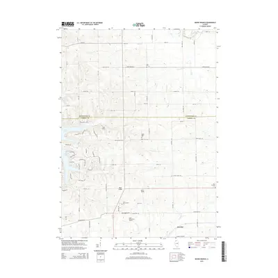
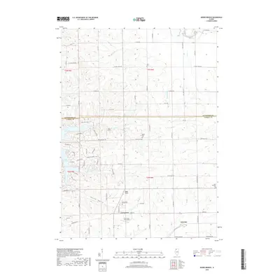
1985 Boone Branch
Carroll County, IL
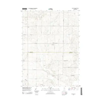
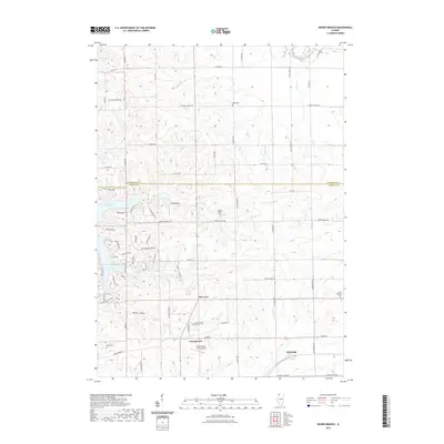
1985 Fair Haven
Carroll County, IL
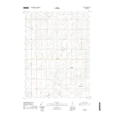
1985 Loran
Carroll County, IL
1985 Mt. Carroll
Carroll County, IL
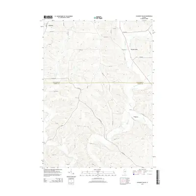
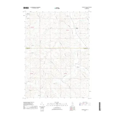
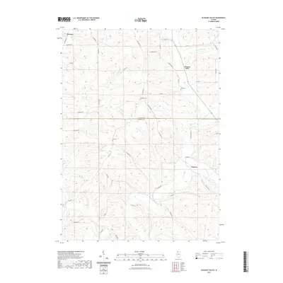
1985 Pleasant Valley
Carroll County, IL
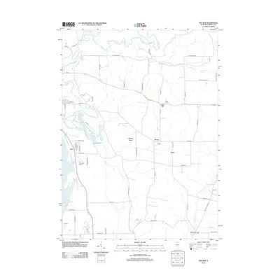
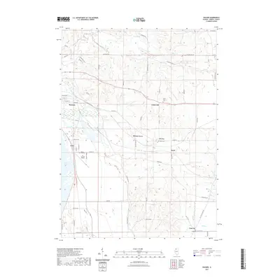
1985 Wacker
Carroll County, IL
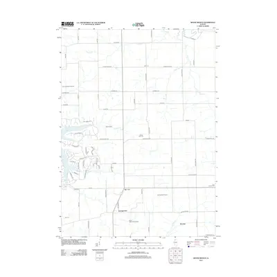
2010 Blackhawk
Carroll County, IL
2012 Blackhawk
Carroll County, IL
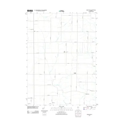
2012 Boone Branch
Carroll County, IL
2012 Fair Haven
Carroll County, IL
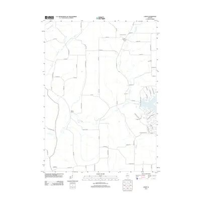
2012 Loran
Carroll County, IL
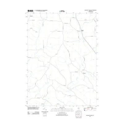
2012 Pleasant Valley
Carroll County, IL
2012 Wacker
Carroll County, IL
2015 Blackhawk
Carroll County, IL
2015 Boone Branch
Carroll County, IL
2015 Fair Haven
Carroll County, IL
2015 Loran
Carroll County, IL
2015 Pleasant Valley
Carroll County, IL

2015 Wacker
Carroll County, IL
2018 Blackhawk
Carroll County, IL
2018 Boone Branch
Carroll County, IL

2018 Fair Haven
Carroll County, IL
2018 Loran
Carroll County, IL
2018 Pleasant Valley
Carroll County, IL

2018 Wacker
Carroll County, IL
2021 Blackhawk
Carroll County, IL
2021 Boone Branch
Carroll County, IL
2021 Fair Haven
Carroll County, IL
2021 Loran
Carroll County, IL
2021 Pleasant Valley
Carroll County, IL
2021 Wacker
Carroll County, IL
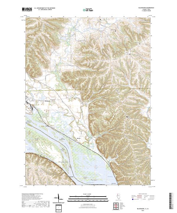
2024 Blackhawk
Carroll County, IL
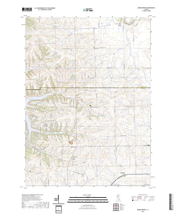
2024 Boone Branch
Carroll County, IL
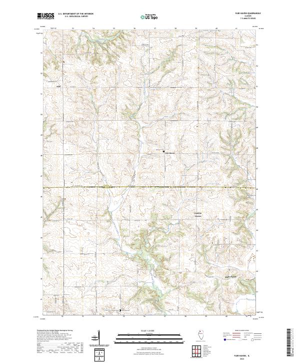
2024 Fair Haven
Carroll County, IL
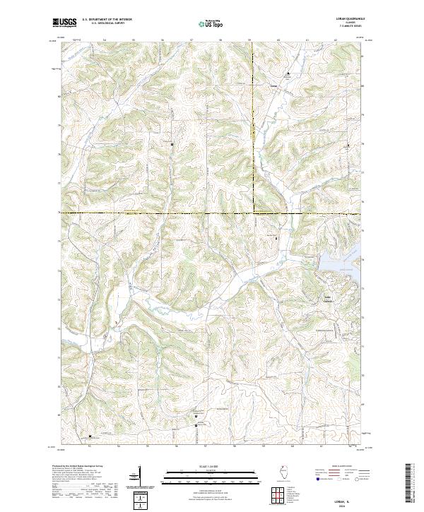
2024 Loran
Carroll County, IL
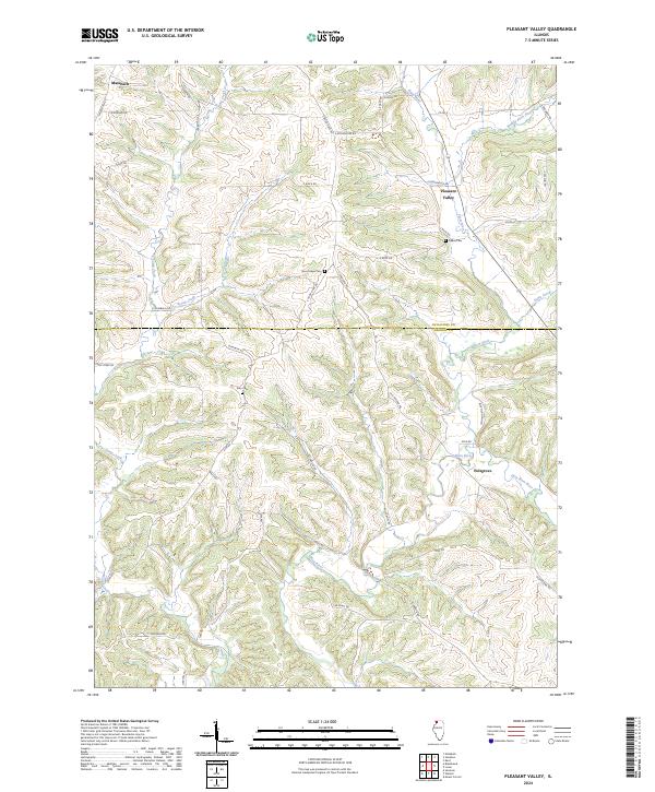
2024 Pleasant Valley
Carroll County, IL
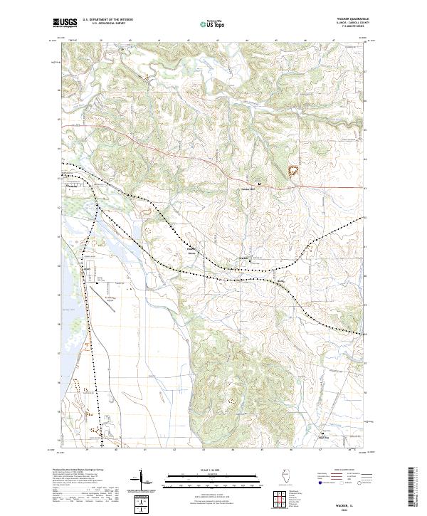
2024 Wacker
Carroll County, IL