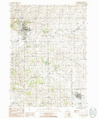
1985 Map of Mt. Carroll
USGS Topo · Published 1986About this map
Mt Carroll serves as the focal point of this mid-1980s topographical study, situated at the confluence of several townships including Mount Carroll, Salem, and Woodland. The landscape is defined by the drainage patterns of Carroll Creek and Johnson Creek, which weave through the agricultural and residential outskirts. Evidence of the local extraction economy appears in the form of multiple Inactive Gravel Pits and an Inactive Quarry, signaling shifts in land use by the time these aerial photographs were captured in 1981.
Find a feature on this map
23 named features on this map. Tap any name to fly to it.
Don’t see what you’re looking for? This feature index may not catch every label — zoom into the map to look around manually.
Map Details
Editions of this 1985 Mt. Carroll Map
This is the sole edition of this map. No revisions or reprints were ever made.
Other maps of this area

1891 · Clinton
USGS Topo · 1:62,500

1892 · Savanna
USGS Topo · 1:62,500

1894 · Clinton
USGS Topo · 1:62,500

1899 · Clinton
USGS Topo · 1:125,000

1934 · Morrison
USGS Topo · 1:48,000

1940 · Morrison
USGS Topo · 1:62,500

1942 · Mt Carroll
USGS Topo · 1:62,500

1944 · Mt Carroll
USGS Topo · 1:62,500

1952 · Clinton
USGS Topo · 1:62,500

1952 · Savanna
USGS Topo · 1:62,500