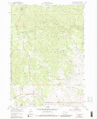
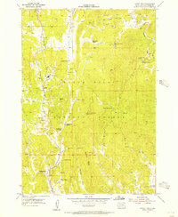
1955 Map of Mt. Coolidge
USGS Topo · Published 1989About this map
Custer State Park dominates this mid-century survey of the Black Hills, revealing a landscape defined by conservation and topography. The map illustrates the convergence of three major public lands: the state park, Black Hills National Forest, and the northern edge of Wind Cave National Park. Prominent landmarks such as Mt Coolidge and its associated lookout tower serve as high-altitude anchors for the surrounding drainage systems, including the complex network of North Fork and South Fork Lame Johnny Creek.
Find a feature on this map
16 named features on this map. Tap any name to fly to it.
Don’t see what you’re looking for? This feature index may not catch every label — zoom into the map to look around manually.
Map Details
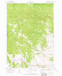
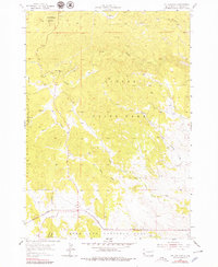
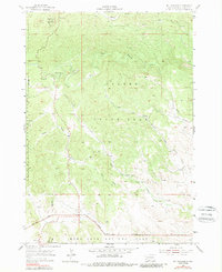
Editions of this 1955 Mt. Coolidge Map
5 editions found
Other maps of this area

1894 · Hermosa
USGS Topo · 1:125,000

1896 · Harney Peak
USGS Topo · 1:125,000

1901 · Hermosa
USGS Topo · 1:125,000

1901 · Harney Peak
USGS Topo · 1:125,000

1954 · Iron Mountain
USGS Topo · 1:24,000

1954 · Custer
USGS Topo · 1:24,000

1954 · Hayward
USGS Topo · 1:24,000

1954 · Mount Rushmore
USGS Topo · 1:62,500

1955 · Mt. Coolidge
USGS Topo · 1:24,000
1955 · Cicero Peak
USGS Topo · 1:24,000