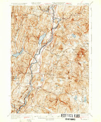
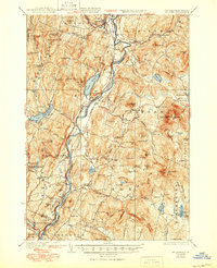
1933 Map of Mt. Cube
USGS Topo · Published 1933About this map
The Connecticut River serves as the central artery for this early 1930s landscape, defining the boundary between the towns of Orford and Piermont in New Hampshire and Fairlee and Thetford in Vermont. The arrival of the Boston and Maine RR shaped the valley's development, connecting settlements like Piermont Sta and North Thetford. While the valley floor is dominated by river-fed commerce, the surrounding uplands are dotted with rural infrastructure, including a dense network of local schoolhouses such as School No 7, Kidderhood Sch, and the Blood Brook Sch.
Find a feature on this map
61 named features on this map. Tap any name to fly to it.
Don’t see what you’re looking for? This feature index may not catch every label — zoom into the map to look around manually.
Map Details
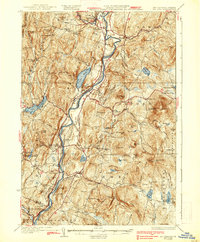
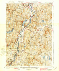
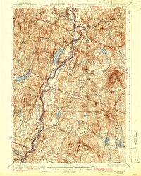
Editions of this 1933 Mt. Cube Map
6 editions found

Other maps of this area

1896 · Strafford
USGS Topo · 1:62,500

1906 · Hanover
USGS Topo · 1:62,500

1908 · Hanover
USGS Topo · 1:62,500

1927 · Cardigan
USGS Topo · 1:62,500

1927 · Mascoma
USGS Topo · 1:62,500

1928 · Rumney
USGS Topo · 1:62,500

1929 · Moosilauke
USGS Topo · 1:62,500

1930 · Cardigan
USGS Topo · 1:62,500

1931 · Mt. Cube
USGS Topo · 1:62,500

1931 · Woodsville
USGS Topo · 1:48,000