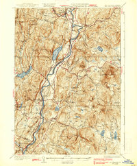
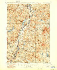
1933 Map of Mt. Cube
USGS Topo · Published 1938About this map
The Connecticut River forms the central spine of this 1930s survey, dividing the townships of eastern Vermont from western New Hampshire. On the eastern shore, the village of Orford and its upland neighbor Orfordville sit at the base of the Mt Cube massif, where the early Appalachian Trail and the Outing Club Trail ascend toward the fire tower on Smarts Mtn. The landscape is a network of small upland settlements like Quinttown and Lyme Center connected by family-named landmarks such as Kenyon Hill and Strawberry Hill.
Find a feature on this map
130 named features on this map. Tap any name to fly to it.
Don’t see what you’re looking for? This feature index may not catch every label — zoom into the map to look around manually.
Map Details
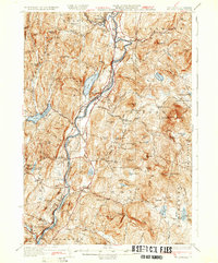
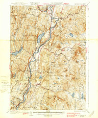
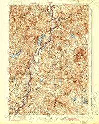
Editions of this 1933 Mt. Cube Map
6 editions found

Other maps of this area

1896 · Strafford
USGS Topo · 1:62,500

1906 · Hanover
USGS Topo · 1:62,500

1908 · Hanover
USGS Topo · 1:62,500

1927 · Cardigan
USGS Topo · 1:62,500

1927 · Mascoma
USGS Topo · 1:62,500

1928 · Rumney
USGS Topo · 1:62,500

1929 · Moosilauke
USGS Topo · 1:62,500

1930 · Cardigan
USGS Topo · 1:62,500

1931 · Mt. Cube
USGS Topo · 1:62,500

1931 · Woodsville
USGS Topo · 1:48,000