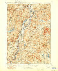
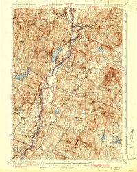
1933 Map of Mt. Cube
USGS Topo · Published 1950About this map
The Connecticut River serves as the central artery for this New England landscape, dividing the riverfront communities of Fairlee and Bradford in Vermont from Piermont, Orford, and Lyme in New Hampshire. The late 1920s survey captures the valley's established transportation network, featuring the Boston and Maine RR and the Dartmouth College Road winding through the lowlands. Higher elevations are defined by recreational and academic landmarks, including the high-altitude Appalachian Trail crossing the eastern peaks near Mt Cube.
Find a feature on this map
131 named features on this map. Tap any name to fly to it.
Don’t see what you’re looking for? This feature index may not catch every label — zoom into the map to look around manually.
Map Details
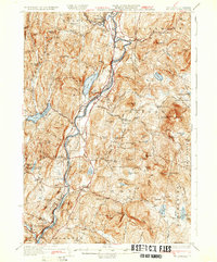
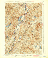
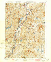
Editions of this 1933 Mt. Cube Map
6 editions found

Other maps of this area

1896 · Strafford
USGS Topo · 1:62,500

1906 · Hanover
USGS Topo · 1:62,500

1908 · Hanover
USGS Topo · 1:62,500

1927 · Cardigan
USGS Topo · 1:62,500

1927 · Mascoma
USGS Topo · 1:62,500

1928 · Rumney
USGS Topo · 1:62,500

1929 · Moosilauke
USGS Topo · 1:62,500

1930 · Cardigan
USGS Topo · 1:62,500

1931 · Mt. Cube
USGS Topo · 1:62,500

1931 · Woodsville
USGS Topo · 1:48,000