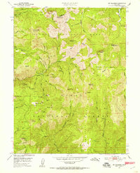
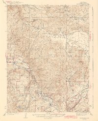
1951 Map of Mt. Fillmore
USGS Topo · Published 1957About this map
Gold mining operations and high mountain peaks define this 1951 survey of the Sierra Nevada, where the border between Plumas National Forest and Tahoe National Forest meets. This area is characterized by an intense concentration of historical mining activity, with numerous named claims such as the Golden Scepter Mine, Bunker Hill Mine, and the California Mine dotting the drainages of Grizzly Creek and Deadwood Creek. The settlement of Poker Flat serves as a central point in this network of steep ravines and ridges.
Find a feature on this map
73 named features on this map. Tap any name to fly to it.
Don’t see what you’re looking for? This feature index may not catch every label — zoom into the map to look around manually.
Map Details
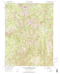
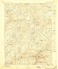
Editions of this 1951 Mt. Fillmore Map
3 editions found
Other maps of this area

1891 · Downieville
USGS Topo · 1:125,000

1893 · Downieville
USGS Topo · 1:125,000

1895 · Downieville
USGS Topo · 1:125,000

1896 · Downieville
USGS Topo · 1:125,000
1897 · Downieville
USGS Topo · 1:125,000
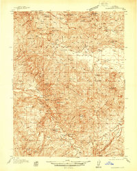
1937 · Blairsden
USGS Topo · 1:48,000
1943 · Blairsden
USGS Topo · 1:62,500
1950 · Onion Valley
USGS Topo · 1:24,000

1951 · Onion Valley
USGS Topo · 1:24,000
1951 · Mt. Fillmore
USGS Topo · 1:24,000