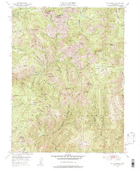
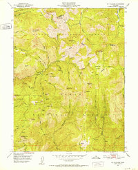
1951 Map of Mt. Fillmore
USGS Topo · Published 1957About this map
Gold mining operations and high-elevation settlements define this section of the Sierra Nevada, situated at the boundary of Plumas National Forest and Tahoe National Forest. The map documents a landscape heavily influenced by the hydraulic and hard-rock mining era, featuring notable sites such as Poker Flat and the Potosi (Site). Steep drainages like Canyon Creek and Slate Creek separate prominent peaks, including Mt Fillmore and Saddleback Mtn, while a network of mines like the California Mine and Bunker Hill Mine are scattered across the slopes.
Find a feature on this map
66 named features on this map. Tap any name to fly to it.
Don’t see what you’re looking for? This feature index may not catch every label — zoom into the map to look around manually.
Map Details
Editions of this 1951 Mt. Fillmore Map
3 editions found
Other maps of this area

1891 · Downieville
USGS Topo · 1:125,000

1893 · Downieville
USGS Topo · 1:125,000

1895 · Downieville
USGS Topo · 1:125,000

1896 · Downieville
USGS Topo · 1:125,000

1897 · Downieville
USGS Topo · 1:125,000

1937 · Blairsden
USGS Topo · 1:48,000

1943 · Blairsden
USGS Topo · 1:62,500
1950 · Onion Valley
USGS Topo · 1:24,000
1951 · Onion Valley
USGS Topo · 1:24,000
1951 · Mt. Fillmore
USGS Topo · 1:24,000