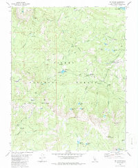
1982 Map of Mt. Givens
USGS Topo · Published 1987About this map
The South Fork San Joaquin River and its major tributary, Mono Creek, anchor this high-altitude landscape within the Sierra National Forest. The map documents a complex network of hydroelectric and transit infrastructure, including the Ward Tunnel, Mono Tunnel, and an extensive Aqueduct system managed in part by Southern California Edison. These man-made features contrast with the protected primitive area of the Kaiser Wilderness, where several high-mountain lakes like Corbett Lake and Cunningham Lake are found.
Find a feature on this map
57 named features on this map. Tap any name to fly to it.
Don’t see what you’re looking for? This feature index may not catch every label — zoom into the map to look around manually.
Map Details
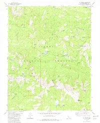
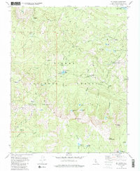
Editions of this 1982 Mt. Givens Map
3 editions found
Other maps of this area

1904 · Kaiser
USGS Topo · 1:125,000

1912 · Mt. Goddard
USGS Topo · 1:125,000

1947 · Mariposa
USGS Topo · 1:250,000

1948 · Mariposa
USGS Topo · 1:250,000

1953 · Mt Abbot
USGS Topo · 1:62,500

1953 · Huntington Lake
USGS Topo · 1:62,500

1953 · Blackcap Mtn
USGS Topo · 1:62,500

1953 · Kaiser Peak
USGS Topo · 1:62,500

1957 · Mariposa
USGS Topo · 1:250,000
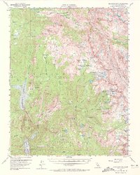
1962 · Blackcap Mtn
USGS Topo · 1:62,500