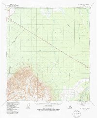
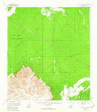
1955 Map of Mt. Hayes D-3
USGS Topo · Published 1991About this map
The Alaska Highway cuts a sharp diagonal through this subarctic interior landscape, serving as the primary corridor of human passage through the Tanana Valley area in the mid-1950s. To the south, the terrain rises abruptly into the high, glaciated terrain of the Granite Mountains, where steep peaks like Panoramic Peak and the sharp Jagged Ridge dominate the horizon. Between the mountains and the highway, the Boulder Plateau creates a high bench of land drained by a network of north-flowing glacial meltwater streams, including Hajdukovich Creek and Granite Creek.
Find a feature on this map
21 named features on this map. Tap any name to fly to it.
Don’t see what you’re looking for? This feature index may not catch every label — zoom into the map to look around manually.
Map Details
Editions of this 1955 Mt. Hayes D-3 Map
2 editions found
Other maps of this area

1950 · Mount Hayes
USGS Topo · 1:250,000

1950 · Big Delta
USGS Topo · 1:250,000

1950 · Mount Hayes D-4
USGS Topo · 1:63,360

1950 · Mount Hayes C-4
USGS Topo · 1:63,360

1950 · Big Delta A-4
USGS Topo · 1:63,360

1951 · Big Delta
USGS Topo · 1:250,000

1951 · Mount Hayes
USGS Topo · 1:250,000

1952 · Mount Hayes D-4
USGS Topo · 1:63,360

1952 · Mount Hayes C-4
USGS Topo · 1:63,360

1952 · Big Delta A-4
USGS Topo · 1:63,360